Français
 Italiano
No higher resolution available.
Europe_alcohol_belts.png (689 × 599 pixels, file size: 98 KB, MIME type: image/png)
This is a file from the Wikimedia Commons and may be used by other projects. Information from its description page there is shown below. Commons is a freely licensed media file repository. |
 | File:Europe alcohol belts.svg is a vector version of this file. It should be used in place of this PNG file when not inferior. File:Europe alcohol belts.png → File:Europe alcohol belts.svg For more information, see Help:SVG. |  |
Summary
| Description | English (en): Alcohol map of Europe. This map shows the traditional and historic alcoholic drink of various countries and regions in Europe. Vodka Wine Beer |
| Date | |
| Source | Own work based on Europe regions.svg by Sertmann (Stefan Ertmann), which is based on Blank map of Europe - Atelier graphique colors.svg by Historicair. |
| Author | Globe-trotter |
| Other versions | Europe alcohol belts.svg |
Licensing
This file is licensed under the Creative Commons Attribution-Share Alike 2.5 Generic license.
- You are free:
- to share – to copy, distribute and transmit the work
- to remix – to adapt the work
- Under the following conditions:
- attribution – You must give appropriate credit, provide a link to the license, and indicate if changes were made. You may do so in any reasonable manner, but not in any way that suggests the licensor endorses you or your use.
- share alike – If you remix, transform, or build upon the material, you must distribute your contributions under the same or compatible license as the original.
Original upload log
| This file was imported from Wikivoyage WTS. |
The original description page was here. All following user names refer to wts.wikivoyage-old.
- 2011-11-03 01:49 (WT-shared) Globe-trotter[dead link] 1500×1305 (374922 bytes) {{Imagecredit|credit=made by Globe-trotter, based on Stefan Ertmann's [http://wikitravel.org/shared/User:Sertmann] map [http://wikitravel.or (Import from wikitravel.org/shared)
File history
Click on a date/time to view the file as it appeared at that time.
| Date/Time | Thumbnail | Dimensions | User | Comment | |
|---|---|---|---|---|---|
| current | 05:55, 21 February 2016 | | 689 × 599 (98 KB) | Király-Seth | Lightened water areas to match other wiki maps |
| 23:39, 17 November 2012 |  | 1,500 × 1,305 (366 KB) | MGA73bot2 | {{BotMoveToCommons|wts.oldwikivoyage|year={{subst:CURRENTYEAR}}|month={{subst:CURRENTMONTHNAME}}|day={{subst:CURRENTDAY}}}} == {{int:filedesc}} == {{Information |description=Alcohol map of Europe. This map shows the traditional and historic alcoholic d... |
File usage
The following 2 pages use this file:
Global file usage
The following other wikis use this file:
- Usage on fr.wikipedia.org
- Usage on hi.wikivoyage.org
- Usage on incubator.wikimedia.org
- Usage on it.wikivoyage.org
- Usage on tr.wikivoyage.org
- Usage on zh.wikivoyage.org
Metadata
Explore the world
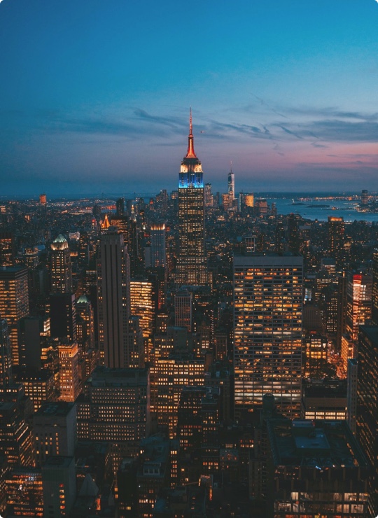
United states
New York
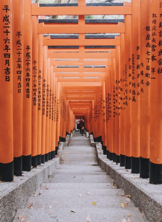
Japan
Tokyo

Singapore
Singapore